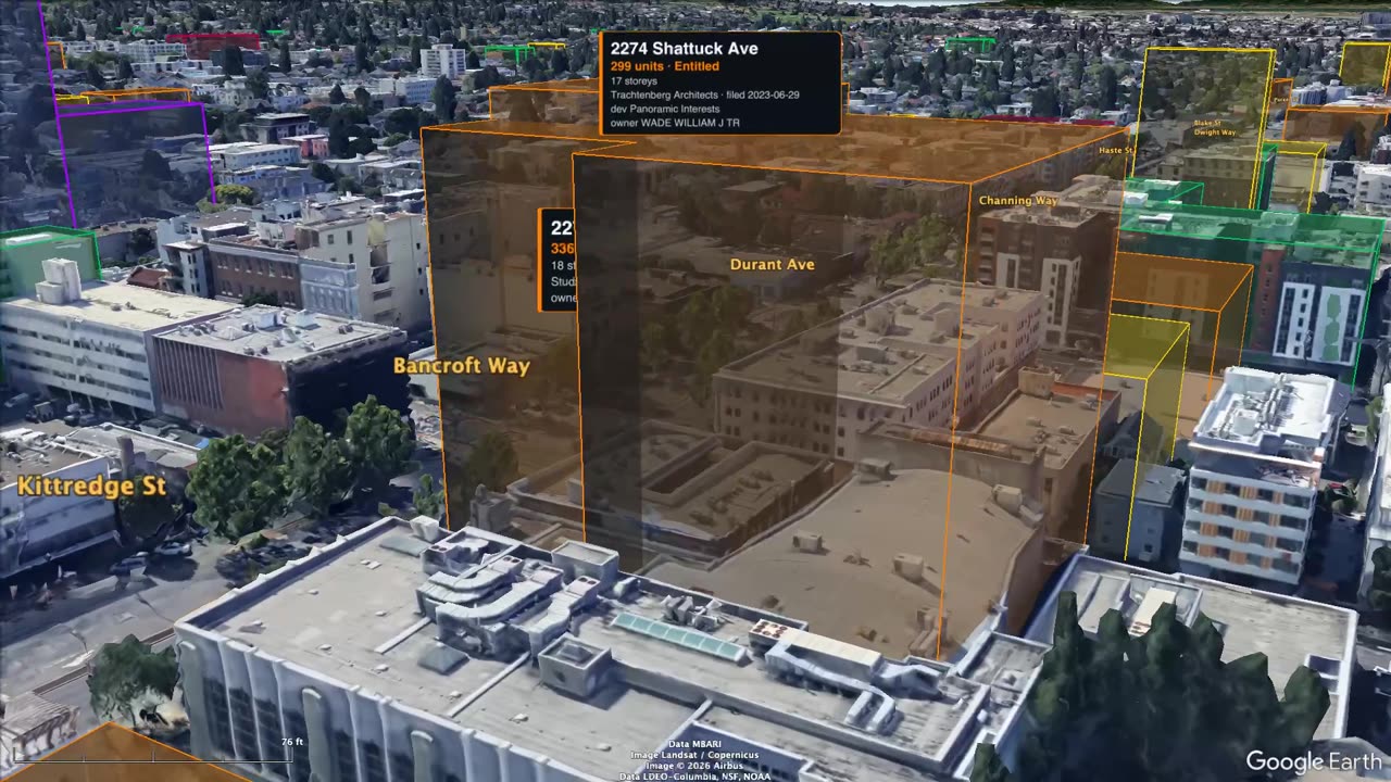
 7.8 min
Shattuck Avenue, south to north
Woolsey Street through downtown to Rose, past the towers.
Fly it with the map and Street View →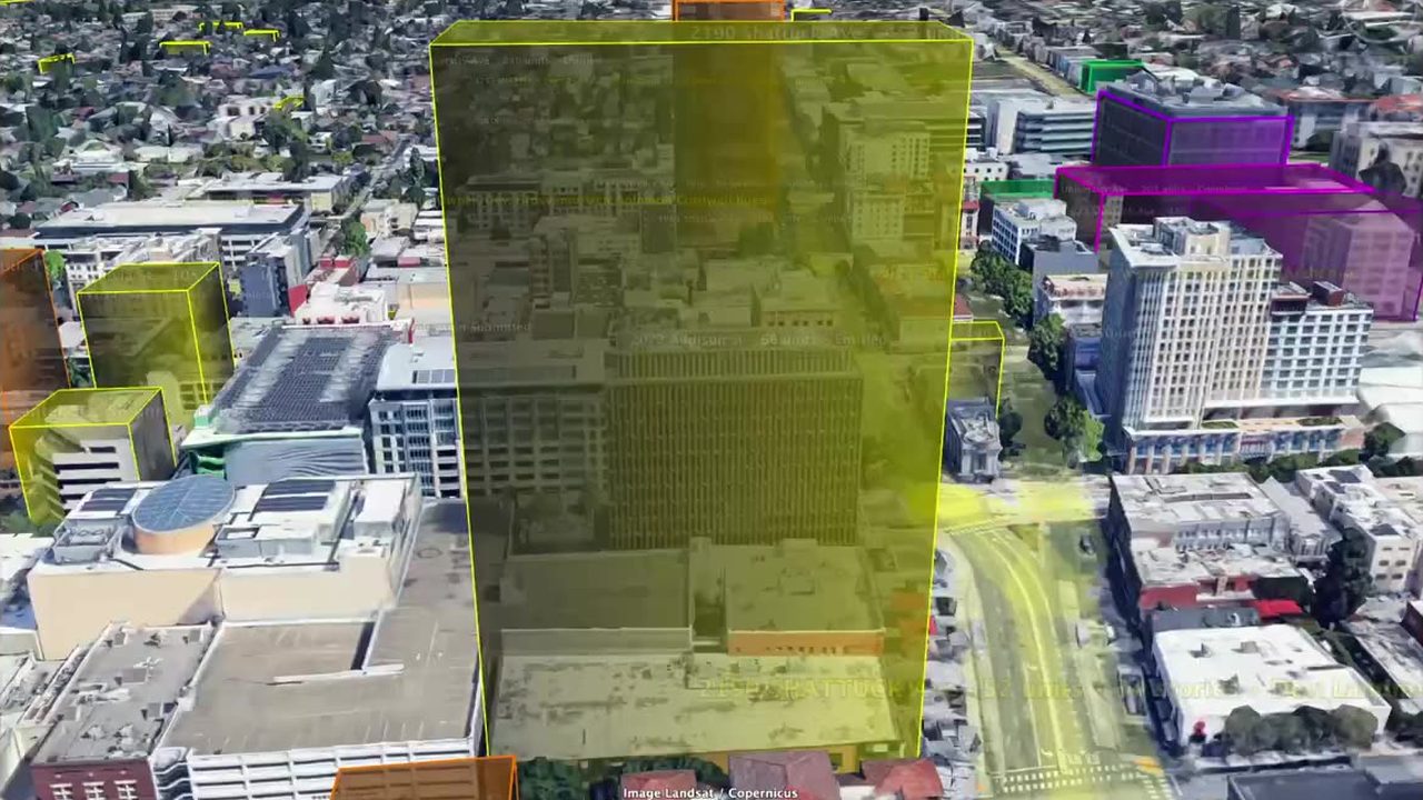 7.4 min
Shattuck Avenue, north to south (June 2026)
Every project entitled or in review in June 2026, Rose Street to the Oakland line.
Fly it with the map and Street View →sync approximate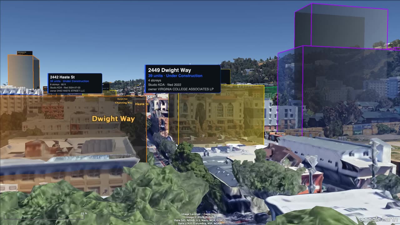 3.6 min
Telegraph Avenue, Woolsey to UC Berkeley
From the Oakland line up past Ashby and Dwight to the campus.
Fly it with the map and Street View →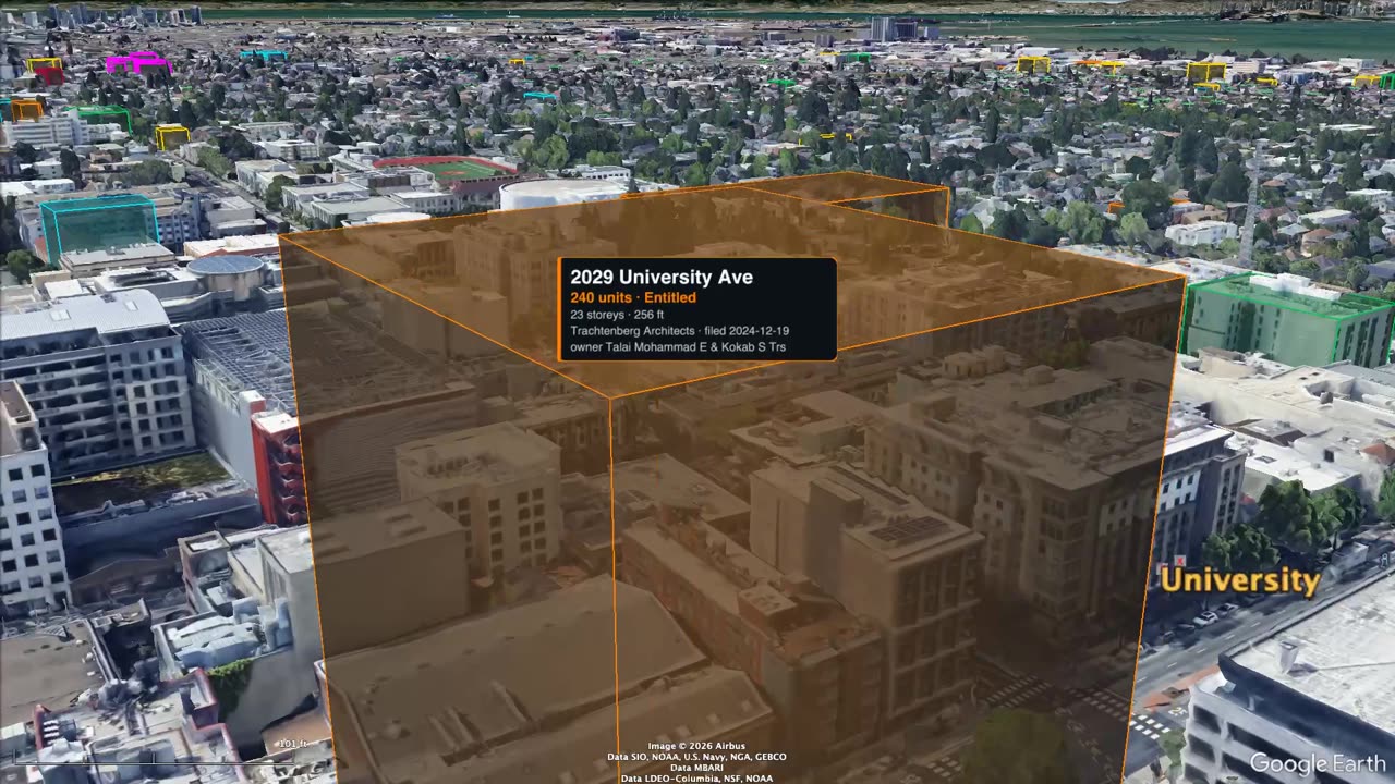 8.1 min
University Avenue, the Harbor to UC Berkeley
The full length, from the Berkeley Harbor to Oxford Street.
Fly it with the map and Street View →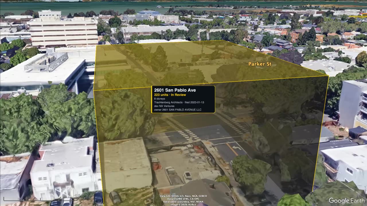 7.2 min
San Pablo Avenue, north to south
2.3 miles of west Berkeley, Albany line to Oakland border.
Fly it with the map and Street View →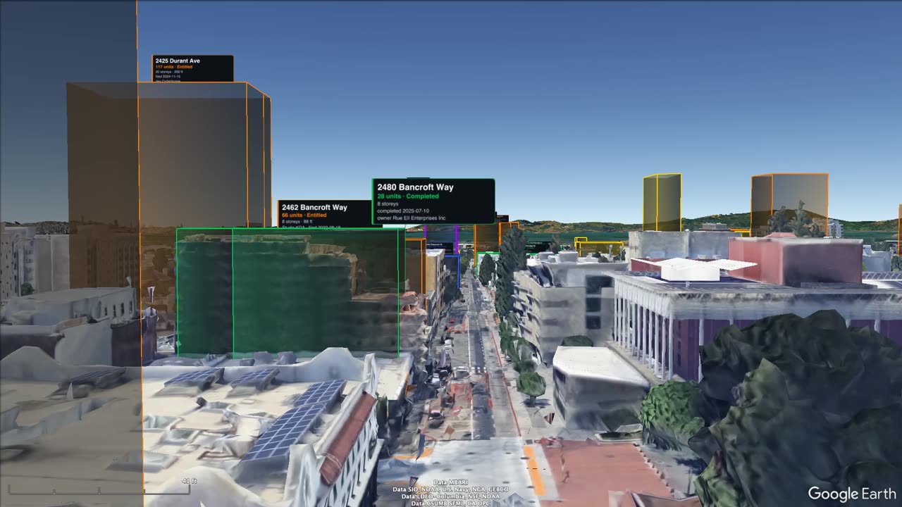 7.9 min
Bancroft Way, Piedmont to Aquatic Park
From the campus edge through downtown to the bay.
Fly it with the map and Street View →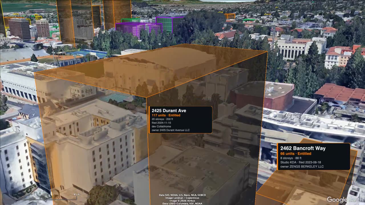 3.9 min
Durant Avenue, Milvia to Piedmont
One block south of campus, west to east.
Fly it with the map and Street View →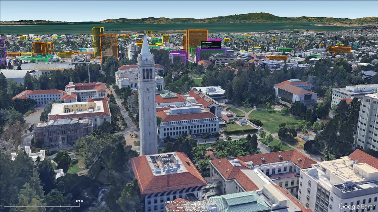 5.5 min
UC Berkeley student housing
5,010 beds in four projects.
Fly it with the map and Street View →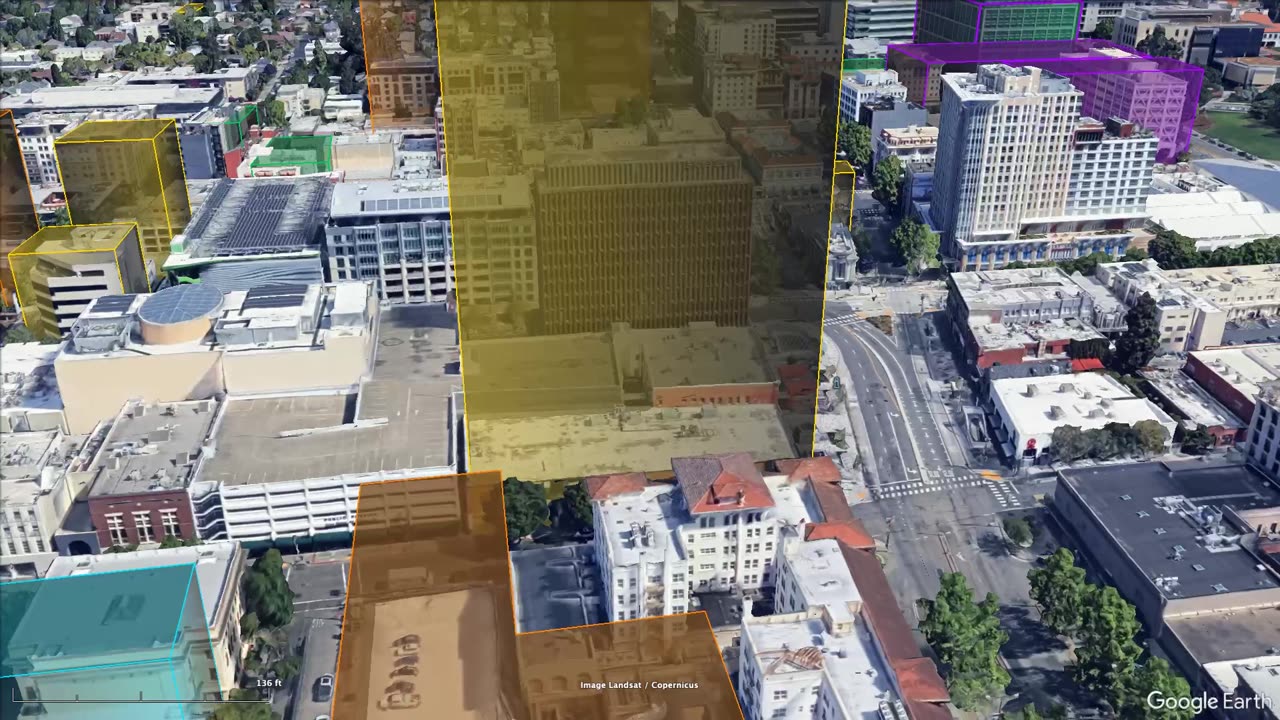 8.8 min
Berkeley's 17 largest private projects
Every private project planned with more than 200 homes.
Fly it with the map and Street View →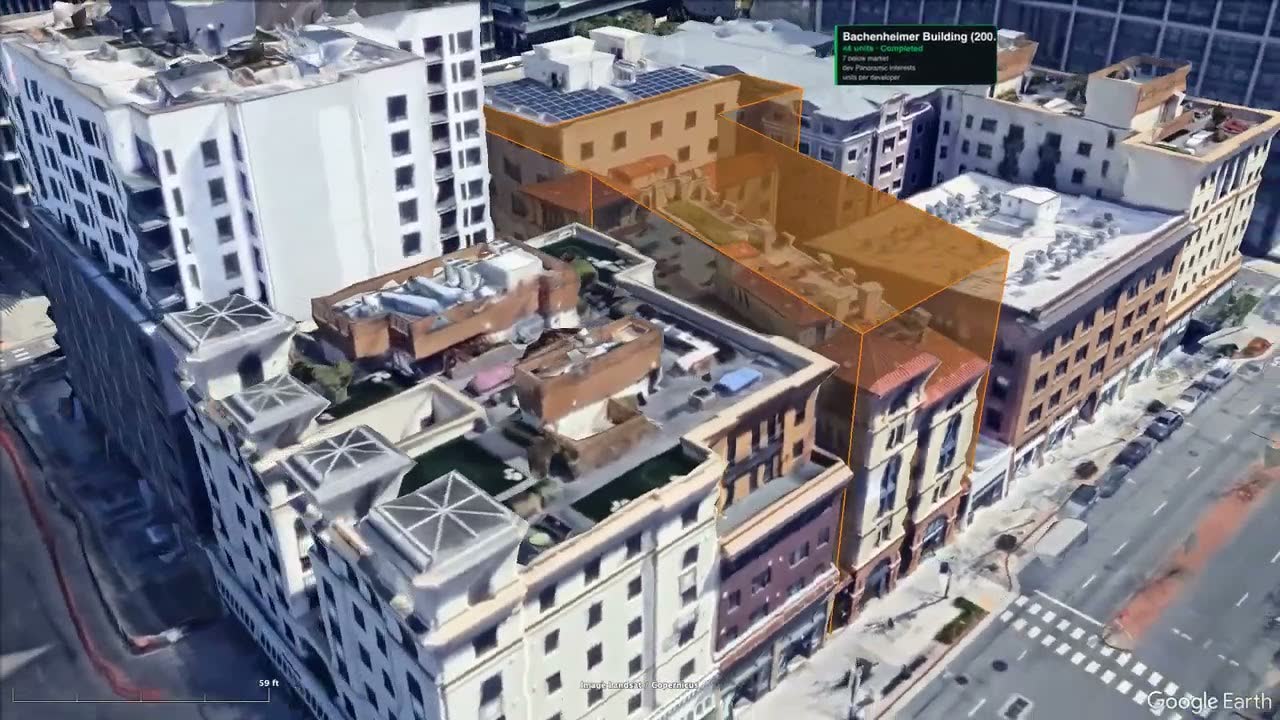 6.8 min
Patrick Kennedy & Panoramic Interests, 35 years
Every Berkeley building by Panoramic Interests, 1990-2028: 23 buildings, 699 homes.
Fly it with the map and Street View →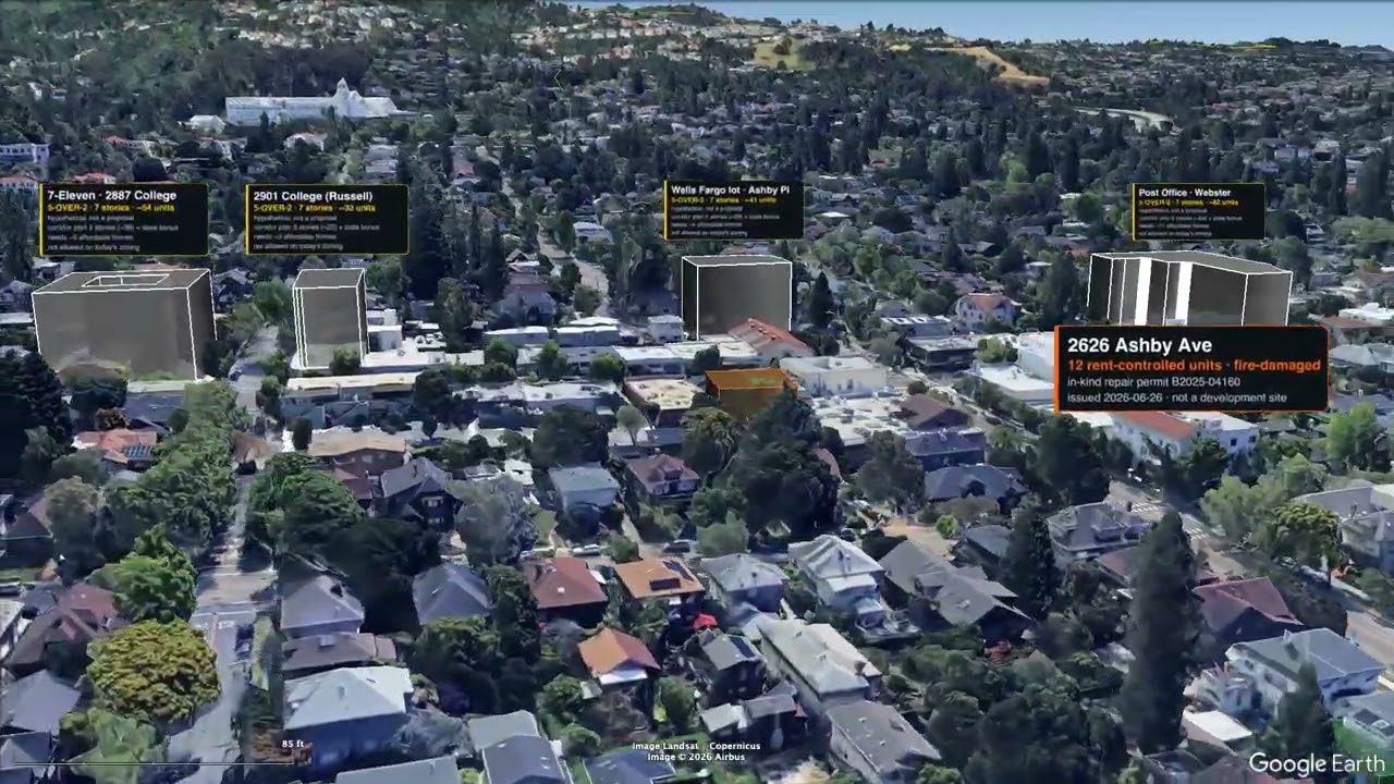 3.1 min
Elmwood Future At Seven Base Stories
Hypothetical: eight College Avenue sites drawn at 7 stories, a density-bonus scenario. Not proposals.
Fly it with the map and Street View →